What it looks like on the ground
Two networks, one community.
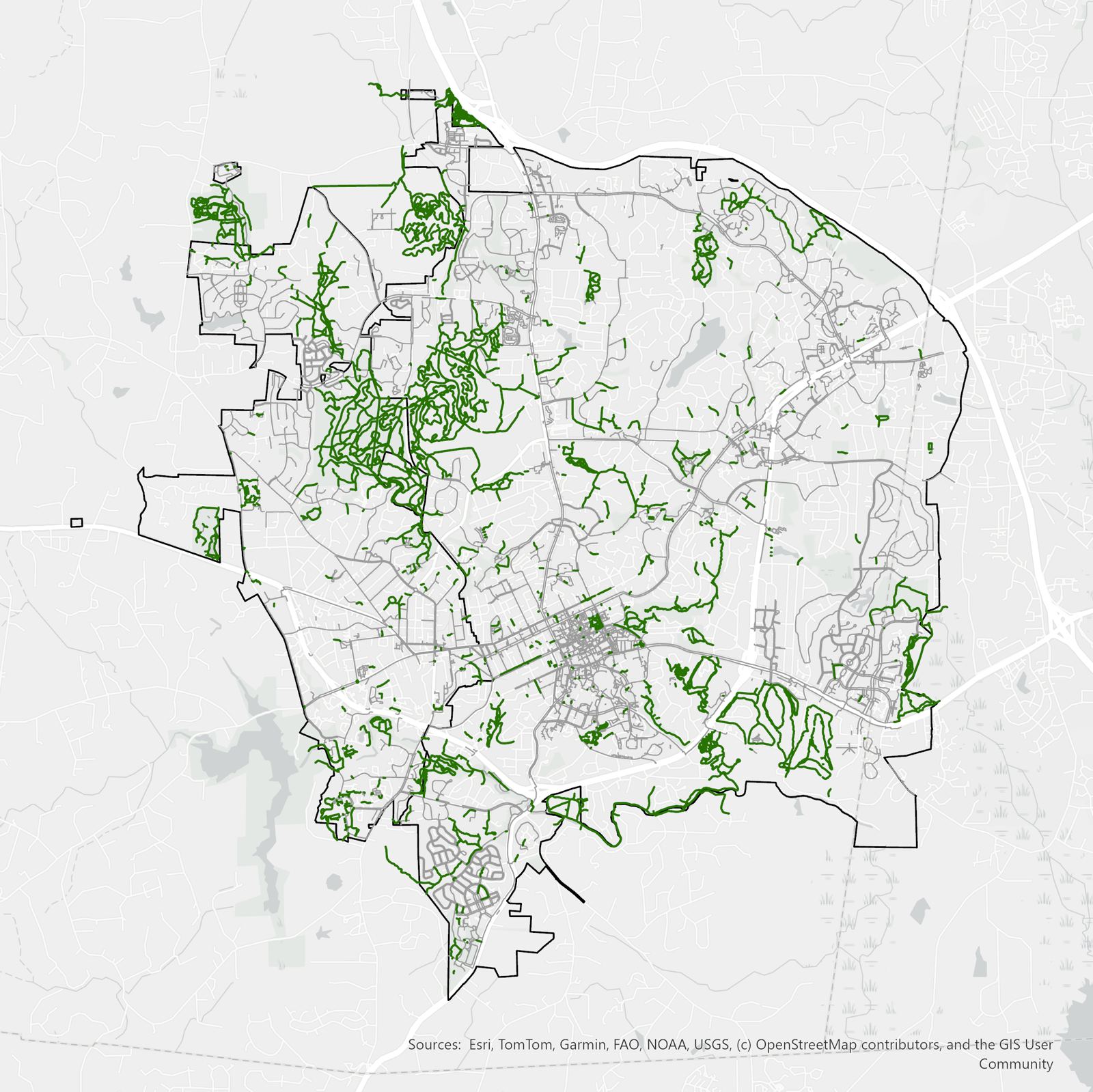
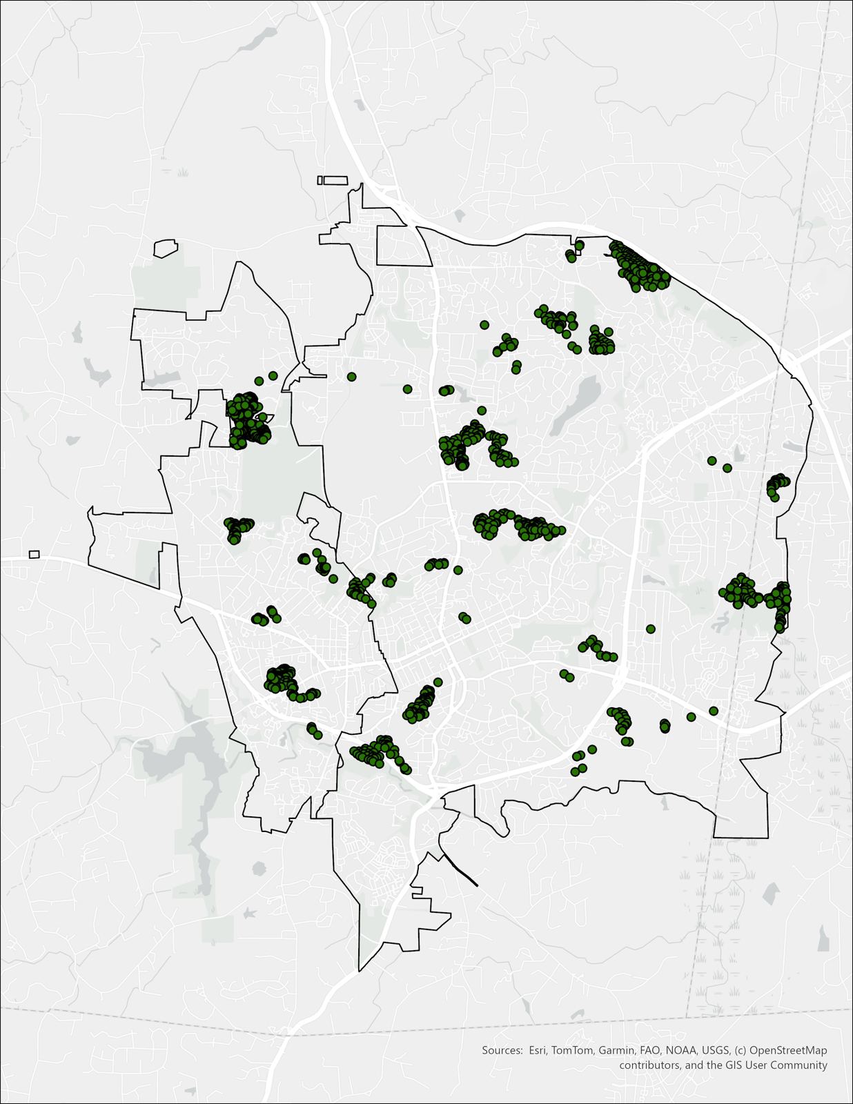
The maps below compare the formal, planned transportation network to the complete network people actually use, natural surface trails included.
Research
Natural surface trails already move people through cities every day. Most planning frameworks don't know they exist. This research measures what that costs a community, using Chapel Hill and Carrboro as a case study.
The argument
Cities have invested heavily in paved active transportation infrastructure: greenways, protected bike lanes, sidewalks. That investment reflects real consensus that walkable, bikeable places are healthier and more equitable. But it also rests on a definition of "transportation infrastructure" that leaves out one of the most common forms of non-motorized travel in American cities: the natural surface trail.
When agencies calculate walksheds or prioritize capital investment, they work from official networks that treat paved surfaces as the boundary of what counts. Natural surface trails, whether formally maintained or worn in by repeated use, fall outside that boundary, not because they're unimportant, but because the frameworks were never built to include them. This research uses a GIS network analysis of Chapel Hill and Carrboro, NC to measure what that exclusion actually costs.
What it looks like on the ground
The maps below compare the formal, planned transportation network to the complete network people actually use, natural surface trails included.
Why it matters for planning practice
The trails in this study aren't invisible to data. They already exist in OpenStreetMap and could be built into any network-based accessibility analysis. What hasn't caught up is planning practice: natural surface trails fall outside official transportation frameworks because those frameworks were never designed to include them, not because the trails can't be measured or mapped.
Asheville, NC offers a working model. Adopted in 2022 as part of the city's Close the GAP Plan, Asheville Unpaved treats natural surface trails as legitimate transportation infrastructure alongside sidewalks and greenways. The two objections that come up most often when this research is shared with planners, liability and accessibility, both have established answers: North Carolina's Recreational Use Statute already limits landowner liability for land opened to public recreational use, and the federal ODAAG standards (now part of the ABA Accessibility Standards, Chapter 10) give planners a concrete framework for designing accessible natural surface trails rather than an automatic reason to exclude them.
Methods & findings
This excerpt walks through the reproducible GIS methodology behind these findings: the OpenStreetMap data sources, the ArcGIS Network Analyst workflow, and the comparative school walkshed analysis, so another community (or its consultant) could run the same approach locally.